Road Ranger
Roadway visibility for distributed surface networks
Road Ranger helps transportation teams inspect pavement, shoulders, signage, and corridors with faster aerial capture and clearer operational context.
Network
Corridor coverage
Repeatable
Inspection runs
Faster
Condition review
Safer
Field access
What Road Ranger
delivers
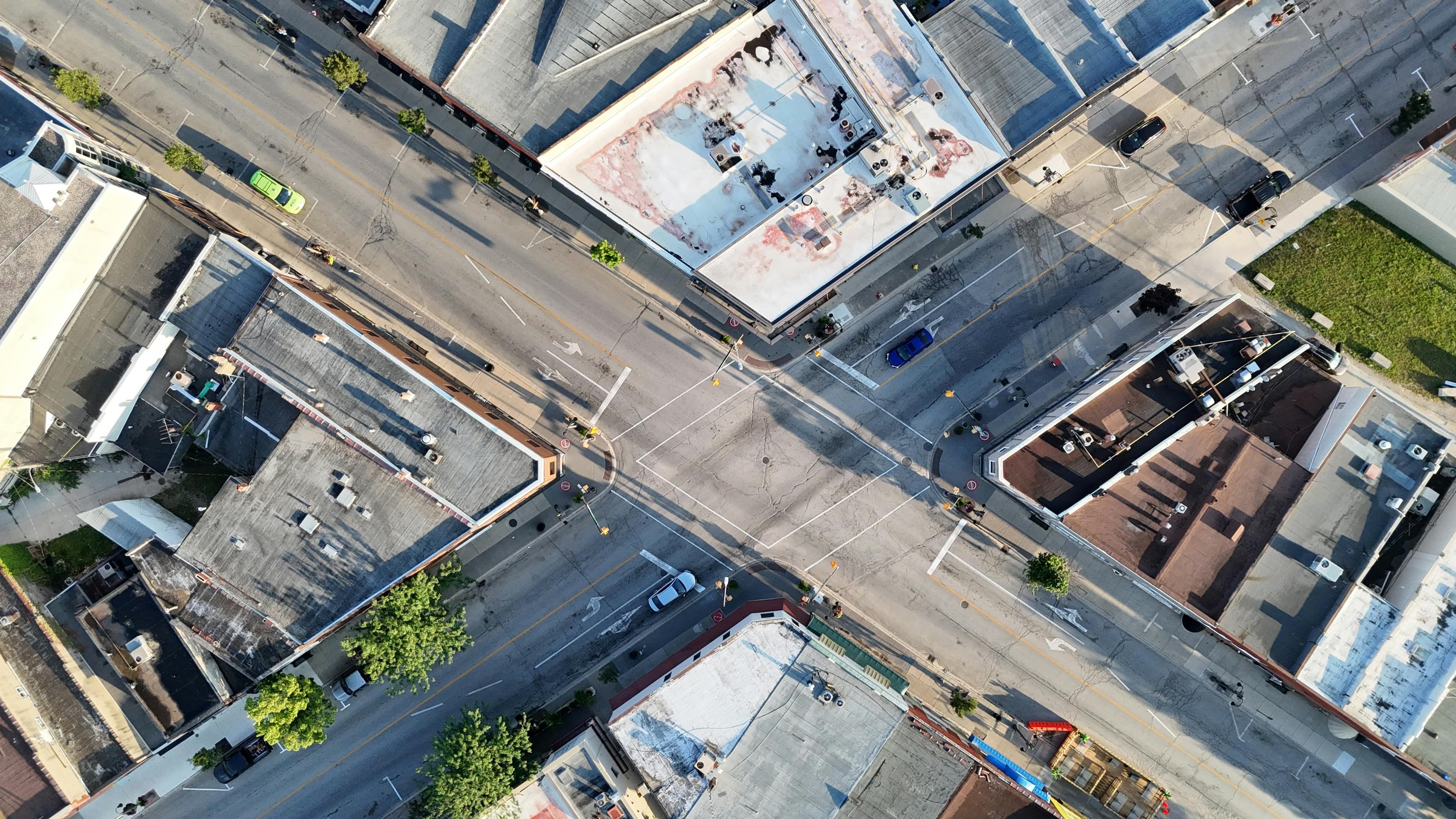
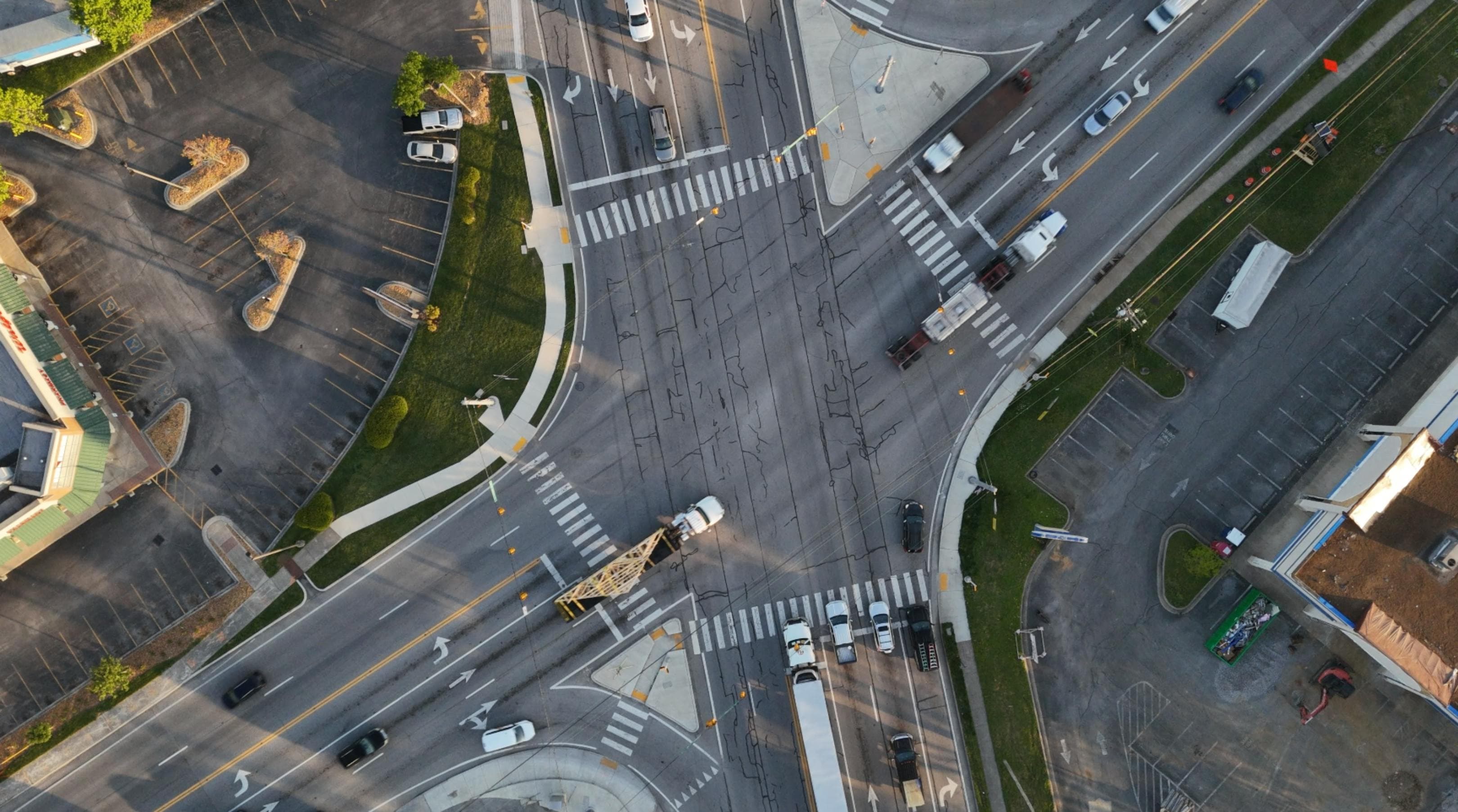
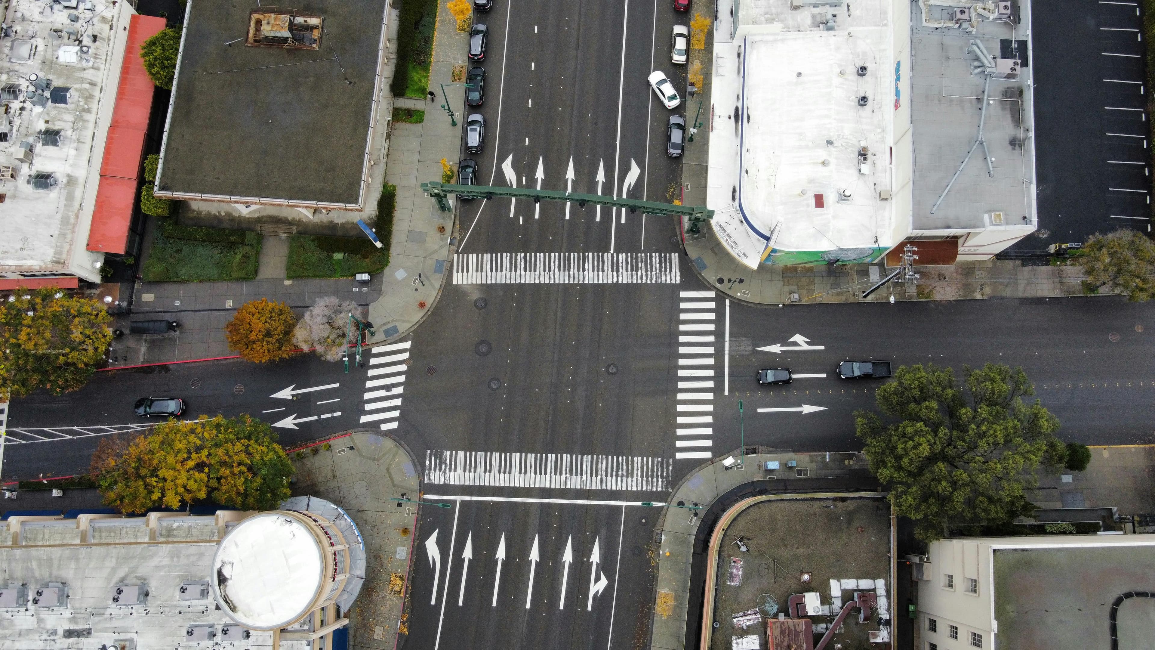
From recurring corridor surveys to post-event assessments, Road Ranger gives agencies and contractors a more consistent way to review roadway conditions, document changes, and prioritize response.
Corridor-scale capture
Cover longer roadway segments with repeatable aerial collection that reduces manual field time and improves consistency.
Condition-focused review
Surface imagery and contextual data help teams identify deterioration, hazards, and maintenance priorities sooner.
Faster response planning
Collected data can support engineering, maintenance, and contractor coordination after routine or incident-driven inspections.
Safer field operations
Reduce the need for manual roadside observation in busy or difficult access areas while preserving clear documentation.
Who uses Road Ranger
Departments of transportation
Monitor network conditions, review recurring trouble spots, and improve inspection coverage across regional roadway assets.
Civil engineering teams
Support planning and assessment work with current aerial context across roads, drainage, intersections, and surrounding right-of-way.
Maintenance contractors
Document pre-work and post-work conditions to align crews, clients, and schedules around the same visual record.